
![]()
![]()
![]()
![]()
![]()
![]()
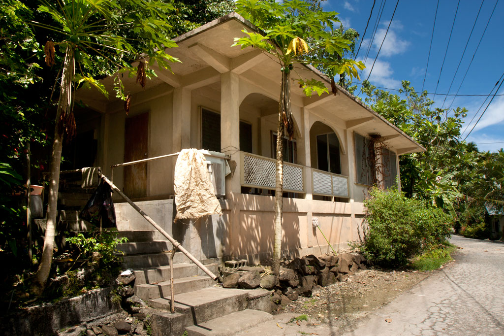
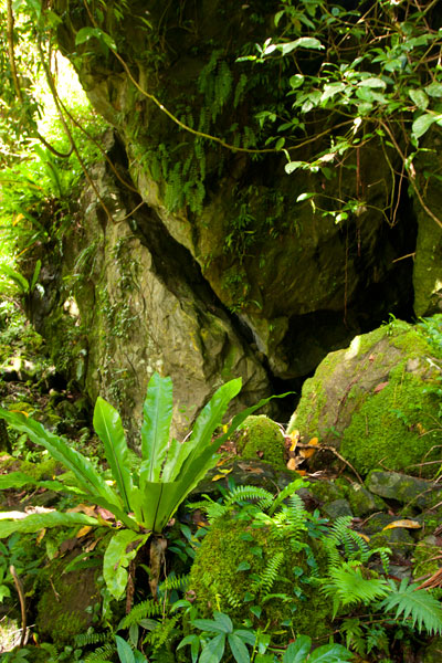
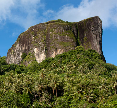
Paipalap, or Sokehs Rock, is without question the most striking feature of Pohnpei’s topography. Over 100 vertical meters (328 ft) of exposed basalt form the upper portion of a gigantic volcanic plug that juts from the north end of Sokehs Mountain and looms over Pohnpei’s harbor and only town, Kolonia. An unmarked trail leading to the Rock, “The Spire”, and “The Adam’s Apple” begins south of a brown house 1.2 km (0.74 mi) beyond Mwalok A-1 Store and just before the Danipei Church (ask permission before hiking). The steep path is well-defined with steep cement steps near the bottom and then a level segment with two
large basalt outcroppings and some cave-like formations. Three quarters of the way along, it begins to follow an electrical conduit running to the beacon on the summit (202 m / 663 ft).
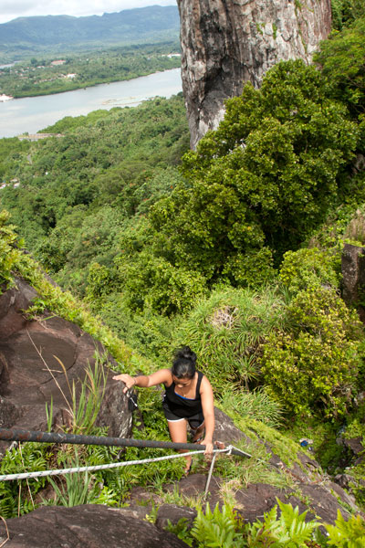
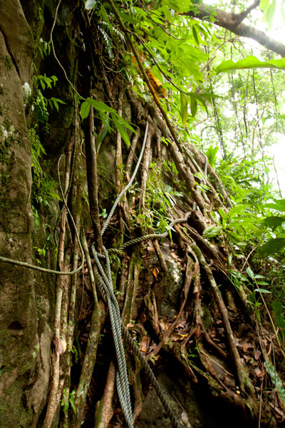
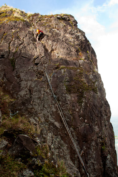
Though not a technical climb, the ascent of the Rock itself is sketchy (triple-pitch, 5.6 R unassisted) and should only be attempted on clear, dry days, as the rocks are treacherous when wet. Pitch 1 begins at the
“Tree Cliff” and skirts a 70° face with the assistance of tree roots, fixed ropes (these you can trust), and the electrical conduit. This section is often underestimated and may, in fact, be the most dangerous part of the endeavor. Several people have been injured in falls at this spot. Pitch 2 starts at the rear foot of the main rock and involves a steep climb with some assistance from the conduit. The crux is a 2-meter section where the conduit has corroded and is no help at all. Climbers must rely on natural holds and a narrow crevice. Ropes also hang along the conduit, but do not trust your weight to any of them as they are in various states of deterioration. Pitch 3 is easier, though no less exposed. Most people straddle the conduit and haul themselves up.
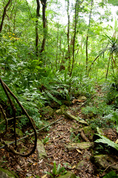
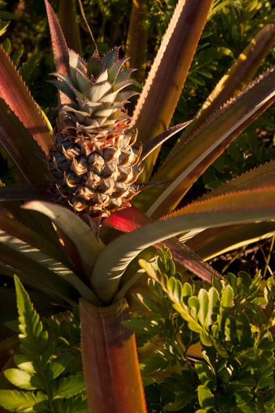
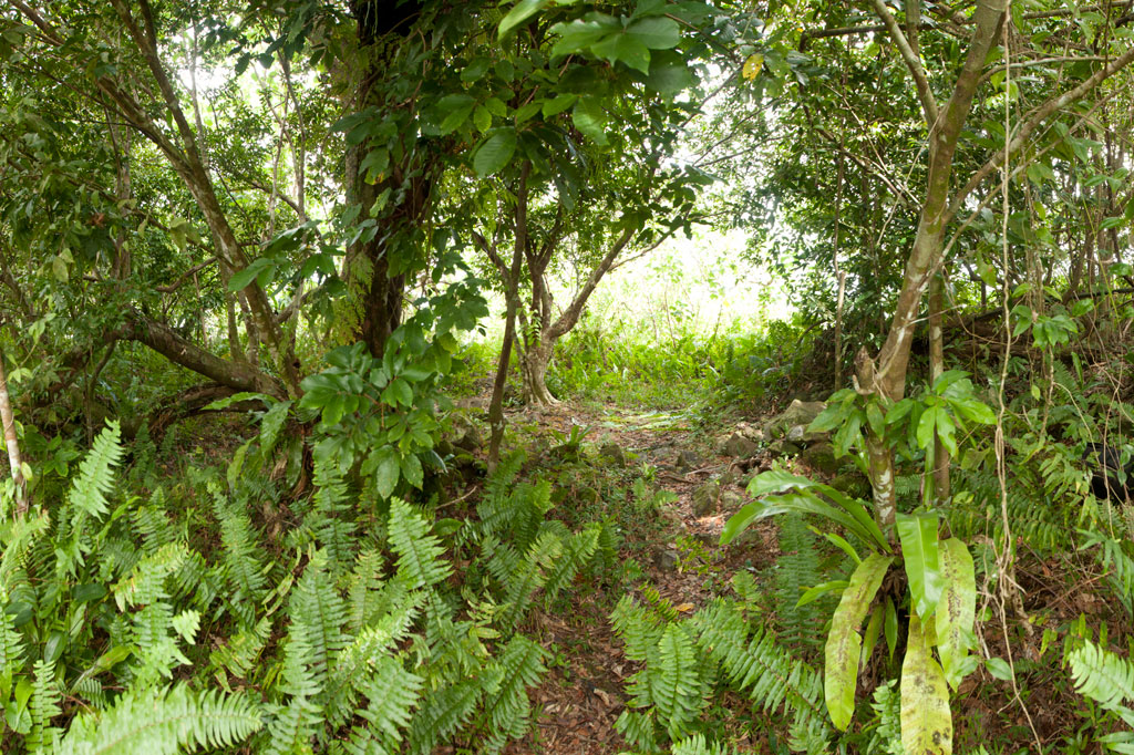
Once on level ground, you can pick out the path that winds through scattered patches of wild pineapples, ferns, and a grove of trees that makes an ideal
campsite before ending at the main cliff on the northern end of the Rock. Spectacular views of the lagoon, reef passes, tuna fleets, and northern islands are found at several spots along the cliff face. On clear days, Pakin Atoll is visible to the west, and you may get a glimpse of Pohnpei’s shy — and perhaps threatened — short-eared owl (Asio flammeus).
The Creation of Sokehs Rock
An ancient Pohnpeian legend states that long ago a man traveling near what is now Sokehs Island was overwhelmed by the force of a geyser-like spring which burst up and swept him all the way to a distant island. There he acquired the help of a powerful magician, who conjured a huge stone and plugged up the spring. Ever after, the rock was known as Paipalap, “the great paip (boulder).” In another version of the story, a Yapese sorcerer named Sou Iap was disturbed by the sound of rushing water and voyaged to Pohnpei to investigate. Upon discovering a great fountain on Sokehs Island, Sou Iap blocked the opening with piles of sea sponges.
Trad Climbing on the Face
The north face of Sokehs Rock has considerable trad climbing potential, though it has yet to be fully explored (several climbers have rappelled down and raved about what they saw there). It is, however, quite extreme and under-cut in places. Note that a top-rope would need to be no less than 200 meters (666 ft) in length. Pioneers are welcome!
One thought on “Sokehs Rock”