
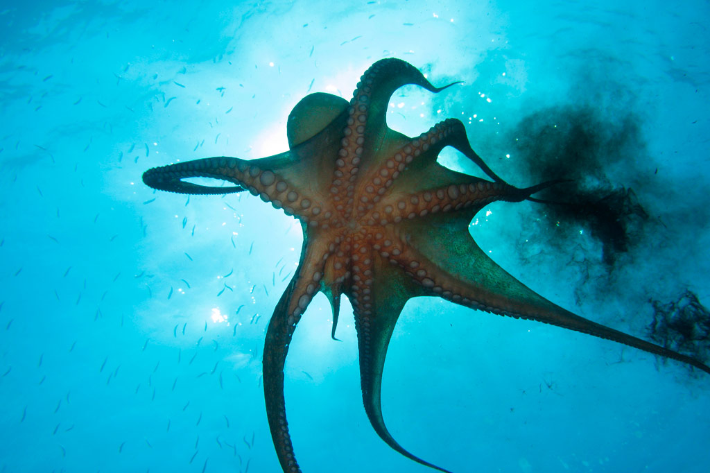
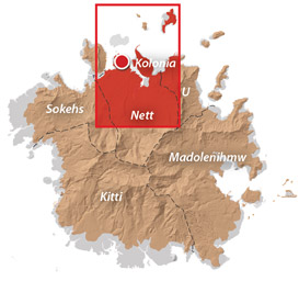
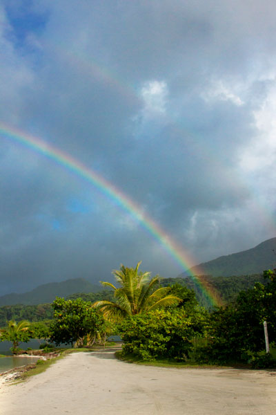
Marine Protected Areas (MPA), Sanctuaries, and Forest Reserves
Pohnpei Island currently has thirteen marine protected areas, including three mangrove forest reserves and two stingray sanctuaries. Additionally, Pakin Atoll has five of its own MPAs and all of Ahnd Atoll is a UNESCO Biosphere Reserve.
If you wish to visit a MPA it is best to work with a tour operators as they have the necessary permits that allow entry into these MPAs and biosphere reserves.
Current MPAs
Sapwtik MPA
Sapwtik Marine Protected Area is a 0.83 km2 (0.32 mi2) area encompassing Sapwtik (island), portions of its fringing reef, and sections of the lagoon southwest and northeast of the island.
Dekehos (Mwahnd) MPA
Dekehos Marine Protected Area is a 4.60 km2 (1.78 mi2) area encompassing Mwahnd Passage (Kepidauen Mwahnd) and portions of the barrier reef north of the pass and to the south as far as the fringing reef of Mwahnd Peidak (island).
Dehpehk MPA
Dehpehk Marine Protected Area is a 2.12 km2 (0.82 mi2) area encompassing the eastern and northern coasts of Dehpehk (island) and adjacent fringing reefs.
Nanwap MPA
Nanwap Marine Protected Area is a 3.05 km2 (1.18 mi2) section of the barrier reef and adjacent lagoon areas north of the Madolenihmw Bay passage (Kepidauen Deleur).
Senipehn Mangrove Forest Reserve
Senipehn Mangrove Forest Reserve is a 1.30 km2 (0.5 mi2) area of mangrove forest surrounding Dauen Sapwalap in Madolenihmw.
Namwen Na Stingray Sanctuary
Namwen Na Stingray Sanctuary is a 0.71 km2 (0.27 mi2) area encompassing both shallow reef and deep water areas located north of Na (island) and south of Nahpali (island).
Namwen Nahnningi Stingray Sanctuary
Namwen Nahnningi Stingray Sanctuary is a 0.34 km2 (0.13 mi2) area encompassing four large reef pools and the adjacent reefs northwest of Nahnningi (island).
Nahtik MPA
Nahtik Marine Protected Area is a 0.75 km2 (0.29 mi2) area encompassing Nahtik (island) and all fringing reefs.
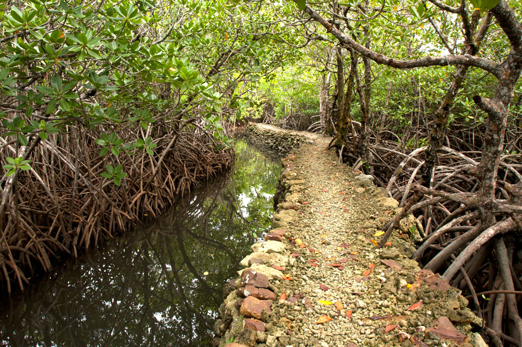
Enipein Mangrove Reserve
Enipein Mangrove Reserve is a 9.55 km2 (3.69 mi2) area of mangrove forest located in Enipein, Kitti.
Kehpara MPA
Kehpara Marine Protected Area is a 1.89 km2 (0.73 mi2) area encompassing the three Namwmwour barrier reef islands (including Kehpara) and large sections of the barrier reef both north, south, and east of the islands. This area is completely closed to diving and snorkeling from January 1 to June 30 every year.
Pwudoi Mangrove Sanctuary
Pwudoi Mangrove Sanctuary is a 1.39 km2 (0.52 mi2) area encompassing large sections of mangrove forest in Pwudoi, Kitti, as well as adjacent fringing reefs and portions of the lagoon.

Wahulap MPA
Wahulap Marine Protected Area on Pakin Atoll encompasses Nikahlap Island and all surrounding reefs.
Painpwel MPA
Painpwel Marine Protected Area on Pakin Atoll encompasses Painpwel Island, a number of tiny islands off the north coast where sea turtles nest, and all surrounding reefs.
Palikir MPA
Palikir Marine Protected Area is one of Pohnpei’s largest inner-lagoon sanctuaries. It stretches from the shore of Palikir all the way to Palikir Pass. It is also one of Pohnpei’s most successful MPA’s and in 2020 efforts were made expand the MPA’s borders.
Sapangin MPA
Sapangin Marine Protected Area on Pakin Atoll encompasses Sapangin Island, several tiny islets to the north where sea turtles nest, and all surrounding reefs.
Kehrot MPA
Kehrot Marine Protected Area on Pakin Atoll encompasses Kehrot Island, many tiny islets to the northeast where sea turtles nest, and all surrounding reefs.
Mwahnid MPA
Mwahnid Marine Protected Area on Pakin Atoll encompasses Mwahnid Island and all surrounding reefs.

")