GPS Central
Download Google Earth, Google Maps & GPX Map Data Files for FREE
All of the data files on this page have been released to the public domain. They are completely free for any use by anyone without attribution. To download GPX files, right-click on the link and select “Save link as…”
Coastline
These lines were drawn during the course of this project from existing aerial photography and satellite imagery.
Mangroves
Including all mangrove forests around Pohnpei Island and its lagoon islands; these lines were drawn during the course of this project from existing aerial photography and satellite imagery.
Reefs
These lines were drawn during the course of this project from existing aerial photography and satellite imagery.
Surf Breaks
Locations were marked based on data provided Pohnpei Surf Club.
SCUBA Diving & Snorkeling
Locations were marked based on data provided by knowledgeable local diving guides and our own on-the-ground data gathering experiences.
Swimming Spots
Locations where poor water quality or environmental contamination make them unsafe for swimming have not been included here. This includes all of the watercourses around Mand, Madolenihmw Municipality (with one exception) and almost everything in Sokehs Municipality. Locations are GPS-verified.
Paddling (Suggested Kayaking, Canoeing & Paddleboarding Routes)
All data was gathered first-hand during this project (all of these routes were paddled); routes are GPS-verified.
Marine Protected Areas, Mangrove Forest Reserves, and Sanctuaries
Shapes are approximations based on data and maps provided by Conservation Society of Pohnpei (CSP) and were not GPS-verified in the course of this project.
Contour
These lines were drawn by the United States Geological Survey and date back to the late 1970s.
Latitude / Longitude
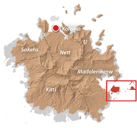
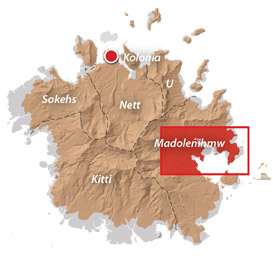
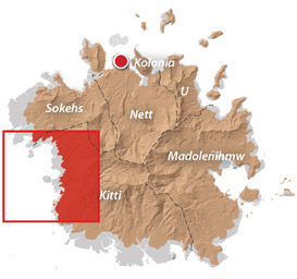
Municipal Divisions
These lines are approximations based on the USGS map released in the 1980s. Many of the border areas between municipalities are disputed.
Proposed Important Bird Areas
These shapes are broad approximations.
Waterfalls
All data was gathered first-hand during this project (each falls was visited); locations are GPS-verified.