
Fat-Tire Biking
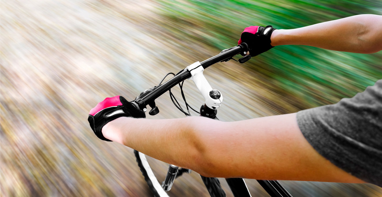

The Best Type of Bike
Pohnpei is a wild place. There are no paved bike paths or bike lanes on the roads. Off-road conditions are muddy, rocky, slippery, and very rough. Potholes are everywhere. For these reasons, mountain bikes are the best option for two-wheeled exploration of the island. The more extensive the suspension, the better!
Bringing a Bike on the Airplane
It’s expensive to bring an item as large as a bicycle on the airplane, but if you want to do quality biking on the island and you can’t stand the thought of using any bike other than your own, then it can be done.
Unless you have a bike that weighs less than 22.68 kg (50 lbs) and can be broken down to fit in a box with total linear dimensions (length + width + height) of less than 157.5 cm (62 in), there will be an over-weight / over-sized baggage fee of $200 each way (+ the regular excess baggage fee). The maximum weight allowed is 45.3 kg (99.9 lbs). You can only bring one bike per ticketed passenger. There is no redress for bikes damaged in-flight. If the flight is extremely full, United has the right to send your bike on a later flight.
United Airlines requires the following:
[warning]Here’s a great article about the art of preparing a bike for airline transport and what can happen if you don’t do it right.[/warning]

Heavy cardboard bike boxes can be obtained at most bike shops around the world. Usually they’re free, as the shops are just giving you the used boxes their bikes came in. The trick is finding one that fits your particular bike. If you have an expensive bike and want to ensure that it’s well-protected, CrateWorks makes awesome reusable bike boxes and cases that will stand up to some abuse, but you’re going to pay a pretty penny for them ($200+ for a plastic box).
Finding a Bike On-Island
Borrow
There is a significant population of expats living in Kolonia. Many of them have bikes and would loan or rent them to visitors. The Pohnpei Google Group is the best way to make connections before you arrive. Just send out a post that you’re look for a bike well in advance, and you are likely to find someone who can help.
Buy & Sell
Pohnpei Ace Hardware just outside Kolonia sells Huffy mountain bikes with front and back suspension (men’s bike $190; women’s bike $158). They also have Belmar Cruisers ($170), if you plan to stick to paved roads. It should not be too difficult to sell off a bike at the end of your trip for almost as much as you paid. Again, the Pohnpei Google Group is a good way to find a buyer.
Where to Bike
Additional routes will be added to this list as different map guides are completed.
SOKEHS ISLAND
| Route | Distance | Gain | Terrain | Conditions | Difficulty |
| Sokehs Pah Coastal Route | 10.8 km (6.7 mi) |
5 m | Flat | Unpaved segment – gravel, coral (0.82 km / 0.51 mi) | Easy |
| Sokehs Pah + Plateau Road Loop | 9.1 km (5.7 mi) |
105 m | Hilly | Unpaved segment – mud, gravel, coral (3.8 km / 2.4 mi) | Strenuous |
| Sokehs Powe Coastal Route | 6.58 km (4.1 mi) |
5 m | Flat | Unpaved segment – gravel, coral (0.29 km / 0.18 mi) | Easy |
| Sokehs Island Circumnavigation | 9.6 km (5.96 mi) |
5 m | Flat | Unpaved segment – gravel, coral (2.3 km / 1.4 mi) | Moderate |
Sokehs Pah Coastal Route (Sokehs Island Route A)
This is an easy, flat ride that begins near the Sokehs Island Bridge and follows the main road around the western coast, passing through the quiet communities of Peidie, Soledi, Roie, and Ipwal. At the Doldrums, take a break and a swim before heading back the way you came.
Sokehs Pah + Plateau Road Loop (Sokehs Island Route B)
More ambitious bikers can add the “Plateau Road” segment to the ride above to form a loop with a little of everything. There are very steep sections at the beginning and end of the Plateau Road as well as nearly even ground. The route winds over the lush highlands with nice views here and there and plenty of quiet natural beauty. The Plateau Road has short concrete-paved sections at the beginning and end, but is otherwise a rough dirt (mud) or coral rubble track.
Sokehs Powe Coastal Route
This route mirrors the Sokehs Pah Coastal Route, beginning near the Sokehs Island Bridge and passing through the Pingelapese and Mwoakillese communities on the eastern coast. This side of the island is much more crowded, with many more cars, children, and dogs on the road, but the liveliness of the place has its charms. At the Nan Imwinsapw Park, take a look at the German Road and head back.
Sokehs Island Circumnavigation
Start opposite St. Peter’s Church and head east around the island, stopping at the German Road, the Doldrums, and Pohn Pillap and Kepindau waterfalls.
GREATER NETT
| Route | Distance | Gain | Terrain | Conditions | Difficulty |
| Nett Point Peninsula Loop | 7.5 km (4.7 mi) |
m | Hilly | Unpaved segments – mud, gravel, coral (?) | Moderate |
| Kahmar-Meitik-Dolekei Tour | 4.7 km (2.9 mi) |
m | Flat | Paved | Easy |
Nett is a nice, peaceful area to explore by bike, criss-crossed by beautiful streams — many of which are wonderful for a quick swim.
Nett Point Peninsula Loop
This loop around the leaf-shaped peninsula east of Kolonia is a fun ride with a great mid-point destination to break up the effort — Nett Point. The 2.6 km (1.6 mi) from the Dausokele Bridge to Nett Point rolls up and down with some moderate slopes and is well-paved. The early part has some intermittent views of the glassy inlet on the west side. Later on, the tree cover closes in and there are long, shady sections dominated by huge mangoes and other hardwood trees. It’s quite beautiful.
Stop at Nett Point for a swim before continuing around the back side of the landmass. The early part of this next segment is unpaved and very rough, shaded by interlacing branches of trees on either side of the road. The paving begins again past Leprohi and eventually one can see east into the bay. In the mangrove forest in Pohndau is the jumble of stones that marks the spot where Olsihpa and Olsohpa attempted to build before moving east to U and later Madolenihmw. The east half of the loop is mostly flat and easy. One can either brave the traffic on the the CIR to complete the circuit or arrange for a pick-up at the CIR intersection. Nett Ramen is a good pitstop near the end.
Kahmar-Meitik-Dolekei Tour
This one-way route begins near the Nett Municipal Office at the west end of the Dausokele Bridge, goes south through Kahmar and across the Kahmar Bridge (a nice swimming spot), through beautiful Meitik, and back north through Dolekei. The track is very scenic with picturesque historic bridges crossing numerous quiet streams. Much of the route is shaded by large trees. Particularly pretty is the section after the Kahmar bridge, which is lined by large Mindinao gum trees. There are a few moderate rises on the last leg of the route, but for the most part, this is a fairly flat run.
CENTRAL MADOLENIHMW
| Route | Distance | Gain | Terrain | Conditions | Difficulty |
| Lukop-Dolopwail | 13.2 km (8.2 mi) |
50 m | Gentle inclines | Unpaved segments – mud, gravel, coral (11.2 km / 7 mi) | Moderate |
| Lukop-Tahio | 6.6 km (4.1 mi) |
50 m | Mostly flat | Unpaved segments – mud, gravel, coral (4.44 km / 2.76 mi) | Easy |
| CIR-Dolen Merewi | 4 km (2.5 mi) |
30 m | Gentle inclines | Unpaved – gravel, coral | Moderate |
| CIR-Pahn Sile | 4 km (2.5 mi) |
60 m | Mostly flat | Unpaved – gravel, coral | Easy |
| CIR-Pahnsapw | 2 km (1.2 mi) |
49 m | Gentle inclines | Unpaved – gravel, coral | Easy |
Madolenihmw’s many unpaved side-roads provide great route opportunities for bikers who want to get a glimpse of the less frequently visited areas on Pohnpei.
Lukop-Dolopwail
This there-and-back route begins on the paved Lukop road going toward the coast 0.2 km beyond the concrete taxi stop. The short paved portion of the route has some gentle inclines — just enough to get you working — as you pass through open, green lands and skirt some of the old Japanese agricultural areas to the west. At the first major branch, bear left and continue on the paved road past Lukop Elementary and the picturesque church. This segment is mostly flat. The paving ends near the dredged coral causeway at Metipw. This is a good place for a break and a view of Mwudokolos Island. The route continues on a rough dirt and coral road around the coast and down to Pahn Dieinuh, the site where the Falcon conflict began and ended. Along the way are nice views of the mangrove forests and quaint Pohnpeian farmsteads.
Lukop-Tahio
This there-and-back route begins at the same point as the route above, but is much shorter and has more unpaved sections. At the main branch, bear right and continue through the flat grasslands. Near Nanpahlap, you start to get some nice tree cover which grows denser as you get toward the end of the road at Tahio. Here you can explore Japanese trenches, tunnels, and other features or find a local resident to take you up Nanpahlap for a breath-taking view of the Sapwalap estuary, Takaiuh peak, and the bay. Don’t forget to lock up your bikes! The bulk of the route is flat.
CIR-Dolen Merewi Trailhead
This is another nice little ride on an unpaved road with lots of little local farmsteads along the way and an excellent view of the interior hills. Bear left at the main branch to go on to the trailhead for Dolen Merewi, a great short hike with an incredible view at the summit.
CIR-Pahn Sile Trailhead
This mostly-flat route begins near Peiai opposite the concrete taxi stop and follows a well-graded inland road to the trailhead for Pahn Sile waterfall. Watch out for free-range pigs in the area. Break up your round-trip with a hike to Pahn Sile waterfall or take the turn-off and visit the metal footbridge over the Senipehn River.
CIR-Pahnsapw Trailhead
This is a nice, easy ride on an unpaved road beginning in the midst of a cluster of sakau “markets” along the Circle Island Road and ending at the Silbanuz house and trailhead for Pahnsapw waterfalls. Along the way are plenty of beautiful views of the rugged landscape and Pohnpeian farmsteads. The ride is perfect in combination with the short hike to the waterfalls, and afterward, you can visit one of the markets and numb your muscles out with a sip of Pohnpei’s potent ceremonial drink, sakau.
TEMWEN ISLAND
| Route | Distance | Gain | Terrain | Conditions | Difficulty |
| Tewmen Island | 10.2 km (6.3 mi) |
95 m | Hilly | Unpaved segments – mud, gravel, coral (1.8 km / 1.1 mi) | Moderate |
Temwen There-and-Back
Temwen Island is an excellent there-and-back-again self-tour option for bikers. Start at the PATS campus, cross the causeway, and follow the paved road around the north side of the island. Just past Temwen Elementary, the paving ends and the road stays quite rough to its conclusion. There are plenty of gentle ups and downs and at least one steep climb. Break up your ride with a visit to Nan Madol and/or Dolopwuropwur battery.