
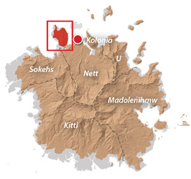
Sokehs Island
![]()
![]()
![]()
![]()
![]()
![]()
![]()
![]()
![]()
![]()
![]()
![]()
![]()
An Introduction to Sokehs Island
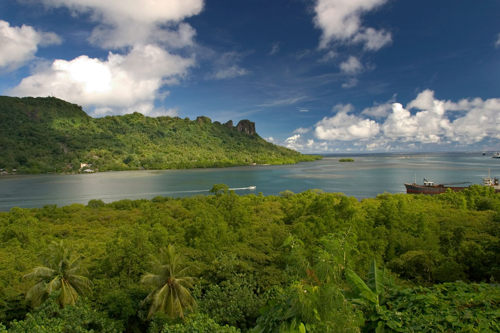
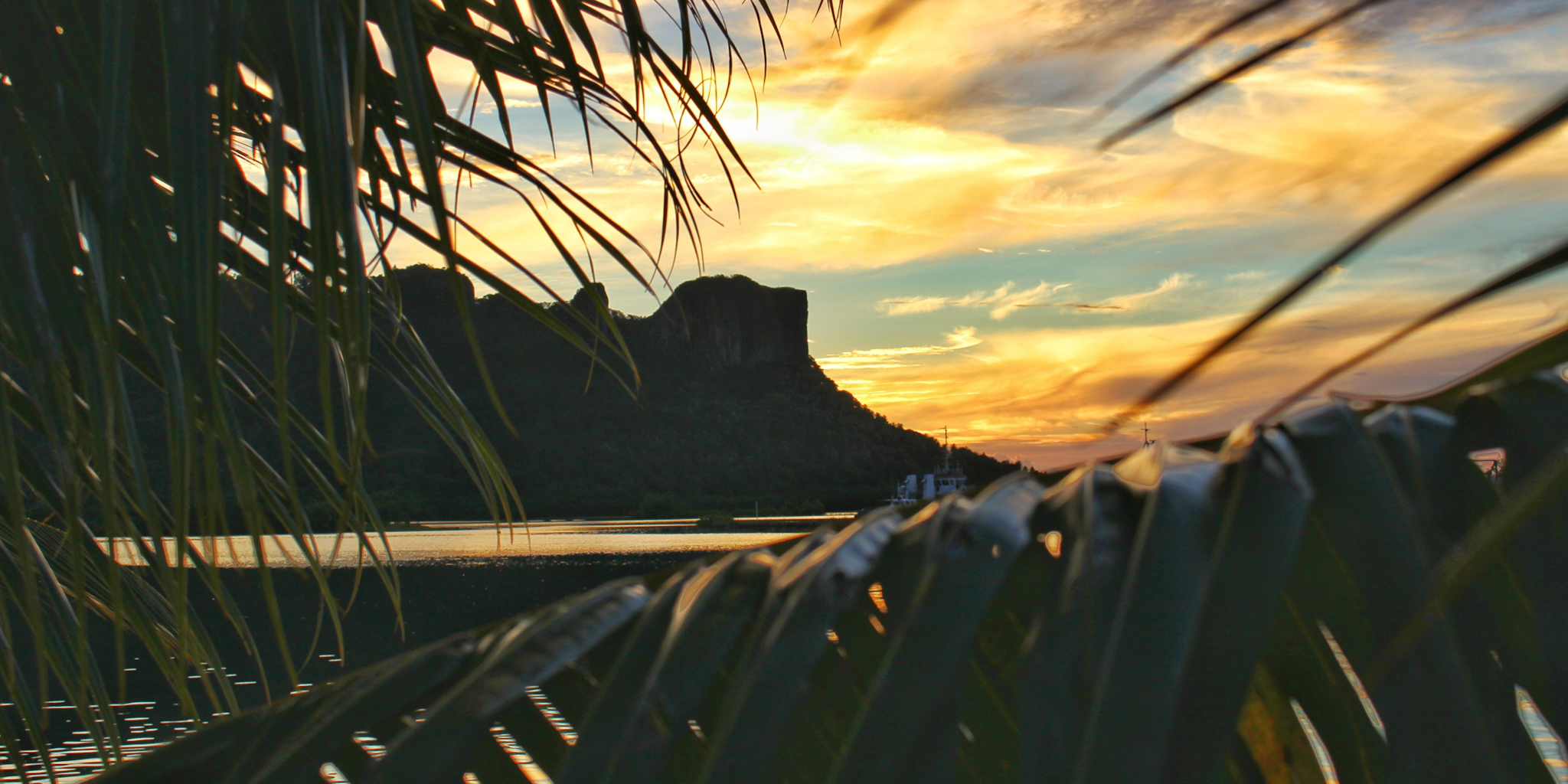
Sokehs Island (pronounced sō.kĕhs) is the largest and highest of Pohnpei’s lagoon islands with an elevation of 276 meters. A long mostly flat-topped mountain called Pohndollap runs north-south across the island, ending at imposing Paipalap (Sokehs Rock). The island is historically significant for its role in the 1910 Sokehs Rebellion against the German colonial government and was one of several locations around Pohnpei heavily fortified by the Japanese prior to World War II. It is also notable for its many outer-island residents — people of Pingelapese, Mwoakillese, Ngatikese, and Mortlockese descent — who were allowed to settle in Sokehs in the early 1900s.
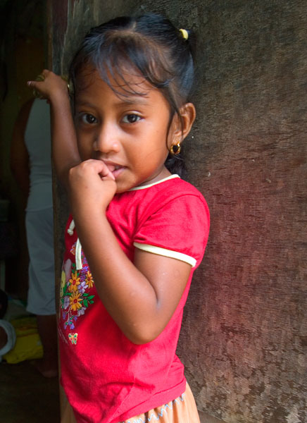
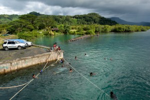
Today the island has one of the highest population densities in Pohnpei and seems perpetually a-buzz with activity. An interesting time to visit is New Year’s Eve, which is celebrated with a startling blend of coordinated noise-making, marching, water-throwing, and cross-dressing. The people are generally very friendly all around, and an amiable visitor is apt to make many new acquaintances on the road. As always, watch out for hostile dogs, speeding taxis, and the occasional delirious drunk.
A History of Sokehs Island
Sokehs Island has played a prominent role in Pohnpei’s history going all the way back to ancient times. Oral histories tell of Olsihpa and Olsohpa, two sorceror brothers who journeyed to Pohnpei from a far away land, looking for the perfect place to build a powerful empire. They landed first at the northern end of Sokehs Island (then known as Soupaip) and did some experimental building in what is probably present-day Ipwal. There are many versions of the tale, but most storytellers agree that the brothers abandoned their efforts in Sokehs and moved on to a new location because they found the local inhabitants unaccommodating. One interpretation of the name’s meaning is “do not bring different people among them.”
During the Saudeleur Period, what now comprises Sokehs and Nett Municipalities was referred to as Pwapwalik and consisted of several semi-autonomous regions that paid tribute to Nan Madol. Sokehs was not united until the mid-1700s, when the Sounkawad clan conquered the whole northern part of Pohnpei and established the Wasai Sokehs as the traditional leader of the chiefdom. During this period there were repeated skirmishes between Sokehs and the chiefdom of U, one of which was documented by infamous Tattooed Irishman James F. O’Connell, a beachcomber and probable convict who jumped ship and found himself on Pohnpei sometime in the 1820s.
A decade or so later, when Protestant missionaries led by Edward Doane established a mission station in the north, the Wasai Sokehs did his best to oppose the newcomers, fearing that they would undermine his power. In the end, he mostly got what he wanted; the northern mission was eventually abandoned under pressure from the Spanish government and Sokehs went Catholic (and remains predominantly so to this day). Conflicts in the region did not end, however. In 1867 the Wasai adopted the Lepen Nett title and greatly angered the people of Nett, particularly the man who was next in line for the title. When the Wasai finally died in 1874, Nett split off and became its own chiefdom.
The turn of the century was characterized by bloody engagements between Sokehs and the short-lived Spanish colonial government based at present-day Kolonia. The most well-known conflict, however, took place in 1910 after the Spanish had departed and the Germans had taken over control of the island. It began in response to a road-building project, imposed on the Sokehs people by the German government, and led to the murder of the German administrator and an assault on Kolonia. The Germans ordered up reinforcements, including hundreds of Melanesian troops, and trapped most of the rebels on Sokehs Mountain, where they were bombarded by German warships. The attack forced the rebels to scatter. Eventually, the leaders, including two lesser chiefs, surrendered and were executed by firing squad. Almost the entire remaining population of Sokehs was sent to Palau to work in Germany’s phosphate mines, and outer-island people from Pingelap, Mwoakilloa, Sapwuahfik, and the Mortlocks were settled in the vacant lands.
Sokehs Island Attractions
Sokehs Mountain
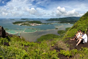
Sokehs Rock
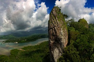
Sport-Climbing on Sokehs Island
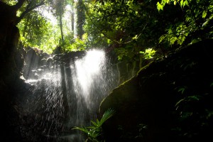
Kepindau & Pohn Pillap Waterfalls
The Doldrums at APSCO Quarry
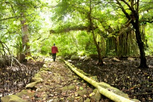
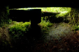
The German Road
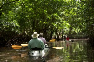
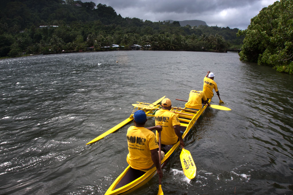
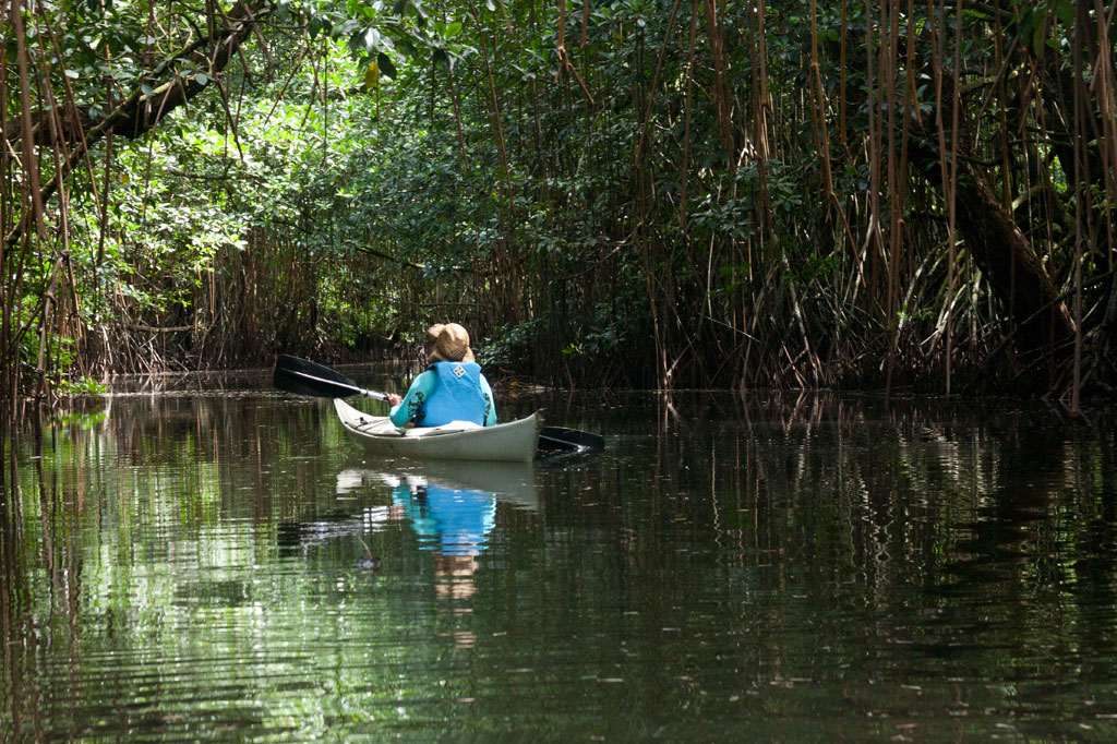
Sokehs Island Paddling
Pohnpei Diving – North Side Sites
Sokehs Island GPS Data

Fat-Tire Biking
ACKNOWLEDGMENTS
Kalangan to Tony Martin of Ipwal for helping to check Sokehs Island place names for accuracy and for all of the information about legends and history; Peterson Anson of Pohnpei Transportation & Infrastructure for helping to create the beautiful shaded relief on our maps; Danko Taborosi of Island Research & Education Initiative (IREI) for his considerable support and technical assistance; and Bermance Aldis at FSM Resources & Development for covering the cost of printing and shipping.