
WWII Sites
In 1914, the Empire of Japan claimed Pohnpei and the rest of the Caroline Islands as part of its Treaty of Versailles Pacific mandate. The island was taken with a significant show of force, but without a single shot fired, and would remain a territory of Japan until the conclusion of World War II in 1945.
While the two preceding colonial governments, operated by Spain and Germany, had attempted to impose their authority on the local inhabitants and set-up commercial enterprises, they had hardly been colonial in terms of the number of foreign nationals who made Pohnpei their home. The Spanish “colony” consisted mainly of the governor’s administrative entourage, a contingent of soldiers, and Catholic clergy; true colonists were few. The nation fought a number of losing wars with Pohnpeians during its period of occupancy (1886-1899), and by the end of its tenure, those who remained were forced to more or less barricade themselves within their squalid fort at present-day Pohnpei. The German period wasn’t much more successful. Germany was most interested in setting up trading posts and copra production and didn’t interfere much with the locals for the first decade. The German civilians who lived on the island were businessmen and traders who had worked in the Pacific before coming there. There were more of them than during the previous period, but their numbers were still small.
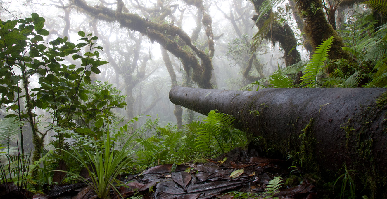
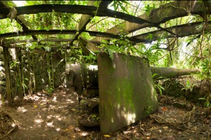
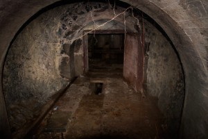
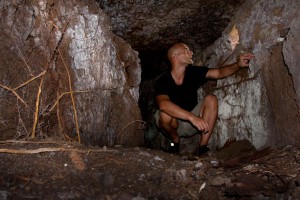
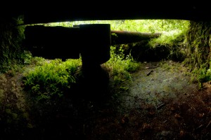
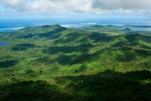
Japan’s reign was wholly different. The Japanese wanted to expand their empire; establish new, self-sufficient communities for its citizens; and be productive. They formed the first true colony, importing 14,000 Japanese nationals — three for every Pohnpeian. They built schools, taught the locals the Japanese language, started large agricultural operations, and built infrastructure. They meant to stay and to make Pohnpei a real part of the empire. In the 1930s, when war began shaping up, the Japanese began seizing strategic land on Pohnpei and the surrounding islands and heavily fortifying it against invasion. High mountains near the coasts were fitted with powerful coastal guns to protect the reef passages and anti-aircraft guns were placed on hilltops, lagoon islands, and around the town. Caves and tunnels were dug and defensive trenches criss-crossed the ridges and mountain slopes. In the end, Pohnpei only saw action from the air. Instead of invading, the Allied forces decided to bomb the island extensively over the course of a year, destroying most of the important targets in the first month.
While all of the small guns and some of the larger ones were removed after the war, Pohnpei still has a great many interesting historical sites related to the war. There are seven intact 15 cm coastal guns (and one partially disassembled), two 12.7 cm anti-aircraft guns, and scores of tunnels, caves, bunkers, and other structures to be explored.
Where to Find World War II Sites
Dolen Eirike

Dolen Nett / Pohnlehr
Dolopwuropwur Gun Battery
Lenger WWII Historical Sites
Madolenihmw Bay Area
Nahpali Island
Sapwtik Island
Sokehs Japanese Sites & Parpwu Waterfall
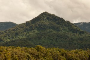
Sokehs Mountain
Timwen Men, Dolakapw & Pohn Tehnmei