
Dolen Palikir
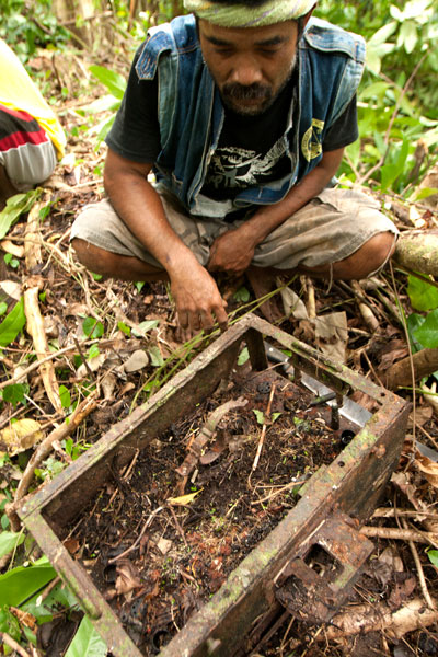
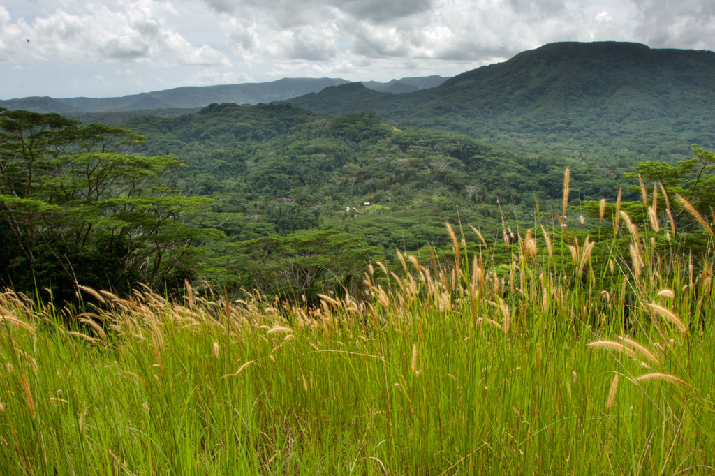
Dolen Palikir (“hill of Palikir“) is a long hill in the middle of Palikir that runs northeast-southwest and has knolls at each end. The southern summit is slightly higher than the other at 250 meters. The Japanese capitalized on Dolen Palikir’s geography as they did with most of the high points on Pohnpei. Trench systems cross the path or run alongside it in several places and there are many small rifle pits. The trail begins at the Hadley residence west of the road leading to Iohl and climbs gently through high, waving grass before entering the trees. There it steepens as it meanders through sakau (kava) plantations (the tallest plants are just below the first summit). Near the summit benchmark is a prehistoric pehi (stone platform) linked to a story about Lepen Palikir — the highest chief in the region, but there’s no clear view of the valley here. The hike to the southern point follows the mostly flat ridge, passing many earthen defensive works, but none with cement or stonework. Near the middle of the ridge, the trees open up and provide a view of the panorama below. The most extensive Japanese structure is at the hill’s highest point and consists of three recessed gun sites with stone retaining walls around them and a trench leading down-slope.
- Plan for 2-4 hours for this hike. Ask at the house for guides Rihlent Hadley or Denster Louis. Offer $20.00.