
Wou Kutoahr
![]()
![]()
![]()
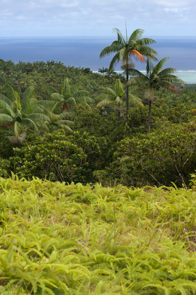
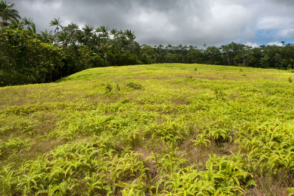
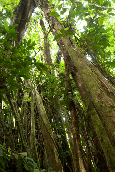
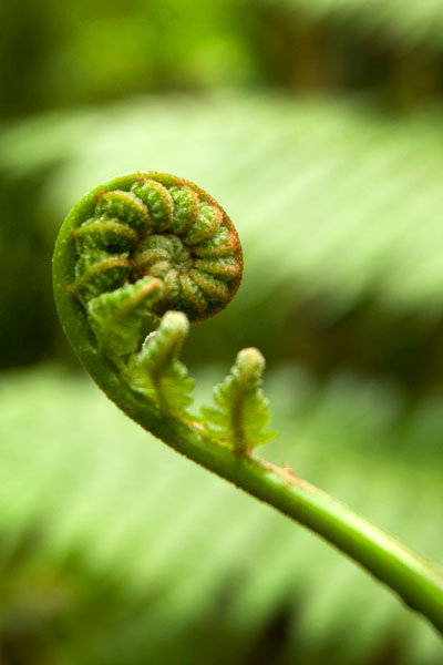
Today, the name Wou Kutoahr is used to refer to a large area of upland fern meadows, palm forests, giant tree fern stands, and denser hardwood forests, though it actually means “kingfisher valley” and originally referenced a specific feature nearby. There’s a little bit of everything here for hikers and birders. Most of the birding is to be had in the forests below the Nan Peienlam meadow. All of the common species can be seen, as well as rarer birds like the Micronesian pigeon, ground dove, crimson-crowned fruit dove, and long-billed white-eye. There are also some interesting species of plants to be found in the same spots, including native mace (Myristica fragrans), which produces walnut-sized seeds covered by a rubbery bright-red skin. These trees were introduced from Sulawesi by the Japanese in the 1920s. Pohnpei’s endemic palm, called kotop, is common around the fringes of the meadows and on some of the nearby slopes.
You can begin your hike wherever necessary along the unpaved road leading up from the FSM-Chinese Pilot Farm near the Circle Island Road, though most vehicles will need to park further down due to the extremely poor condition of the track. Wherever you start, follow the road up until it narrows to a footpath. This path climbs gradually with an 9-10% slope and to the first savannah. If you walk out among the ferns to the south, you can get some decent views on a clear day. The path continues to climb at the same rate from there, passing into a section of forest dominated by giant tree ferns and beautiful hardwoods. This the key place for birders. In the middle of the forest segment, the trail levels off to about a 4% slope, eventually leaves the forest, and arrives at the second set of fern meadows. A knoll to the south offers excellent views of the lower forests and ocean. Other trails continue 0.74 km from Nan Peienlam to Dolekole (363 m) and 0.67 km to the Mese Stream (Pilen Mese) from the middle of the forested section.
Camping
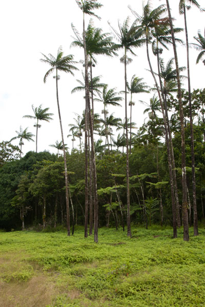
The kotop (Clinostigma ponapensis) stand on the edge of the upper meadow is a wonderful place to camp with amazing scenery all around and some protection from wind. The nearest fresh water is at Pilen Mese (purify or filter it) about 1.2 km north. Leave the area exactly as you found it and pack out everything you brought in.
No fees are charged for this hike. You can do this hike without a guide.
- Plan for 4 hours round-trip for this hike.