
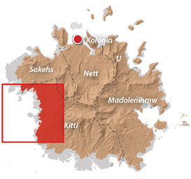
Western Kitti GPS Data
Downloadable GPS Data Files
The following files contain all the packaged GPS data for each of the featured locations in the Western Kitti Eco-Adventure Map Guide.
Three file types are provided. KMZ and KML files are compatible with Google Earth. KML is compatible with Google Maps. GPX files can be imported into ArcGIS (a professional mapping application) and some hand-held GPS devices.
[info]NOTE: All files are free to the public and can be used for any purpose without permission.[/info]
Dolen Uh Hike & Pilen Seleur Eel Pools (2015)
Sahwartik & Sahwarlap Waterfalls Hike (2015)
Six Waterfalls Hike (2015)
Coordinates
The following coordinates correspond with sites featured on the Western Kitti Eco-Adventure Map Guide. It is our dream to eventually create a Pohnpei GPS app that could be uploaded to smartphones and other devices, but for now, these points of interest can be entered manually in a hand-held GPS device as needed.
[info]NOTE: All GPS devices have a margin of error. That margin increases with interference — when there is a thick canopy of trees, during bad weather, or when mountains obstruct the satellite link. The geosynchronous satellites employed when navigating on Pohnpei are located low on the southwestern horizon, such that maintaining a strong connection while hiking on the northeast side of a given mountain range can be difficult. Coordinates on the northeastern slopes of mountains are less accurate than in other locations.[/info]
Coordinates are not yet available for this area. We’re working to get them on-line ASAP. Please check back soon!
Dolen Uh & Other Treeless Hills
Treeless Hills & Fern Meadows
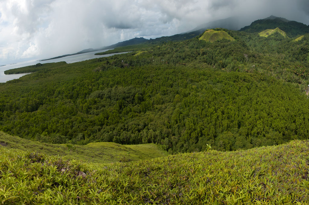
One of the most visually distinctive features of the area between Pehleng and Pwudoi involves the fern meadows that crown the tops of several treeless hills on both sides of the main road. These features exist where shallow bedrock and repeated burnings inhibit tree growth.
Dolen Uh
One rounded hill, called Dolen Uh (“standing hill”), lies immediately west of the road in Pwudoi and offers a nice hike that anyone can manage. Begin next to the road 0.22 km (0.14 mi) after the Pilen Seleur eel pools and follow the footpath through the woods and past three utility poles to the FSM Telecom tower at the 94 m summit. The roof of a small concrete hut is a nice spot for a picnic or for enjoying the sunset. Panoramic views are found in all directions. This hike can be done without a guide and without any special permission. With the exception of one small, scrubby tree next to the concrete hut, the rest of the hill is covered with low spreading plants with tiny flowers, called “yellow grass,” and a variety of Lycopodiella fern routinely found in meadows of this type.
Tents can be pitched in many places around the gentle slopes, though there is no water on the hill and it’s exposed to off-shore winds (pack out ALL garbage — leave nothing behind).
No access fee is charged.
- Plan for 45 to 90 min with some leisure time at the top.
Mallen Loange Peidak
Another interesting fern-topped hill is located northeast of Dolen Uh and is easily accessible from the same road taken to reach the Dolmweir / Pekenuht / Nahnalaud trailhead in Pehleng. The turn-off for this road is 3.2 km (2 mi) north of the Dolen Uh trailhead just before a basketball court. The meadow, or savannah, on the hill’s crest is known as Mallen Loange Peidak (mal means “meadow”) and offers commanding views of the western coasts, Nan Lapahu Stream valley and Woun Oapoaro — another valley. Drive to the end of the access road (1.72 km / 1.1 mi) and walk about 0.42 km (0.26 mi) up the footpath until coming to a clearing on the south side of the path, where a second footpath leads southwest to the hill (0.22 km / 0.14 mi). Anyone living nearby can point you in the right direction, and children in the neighborhood will act as guides for a couple of bucks.
- Plan for 45 min to 1 hour for this hike.
Pohn Dollap
A third hill, called Pohn Dollap (“on the big hill”), is found between the Circle Island Road and Mallen Loange Peidak. To find a guide (offer $12.00) and obtain permission to cross private land around the hill, ask at the houses along the inland side of the road 1.8 km (1.1 mi) south of the Mallen Loange Peidak / Nahnalaud access road.
- Plan for 2 to 2 1/2 hours round-trip.